
Young Tasmanian electrical engineer Natalia Galin has turned US technology into a robust helicopter-borne radar system that can accurately measure the thickness of snow on polar sea ice.
Her work will improve NASA’s satellite measurements of what’s happening to the Antarctic sea ice, and will contribute to more accurate climate models. She will present her results for the first time in public this week at Fresh Science – a national science talent search – at the Melbourne Museum. Natalia is one of 16 winners from across Australia. Further stories will be issued Tuesday and Thursday.
High resolution photos of Natalia working in Antarctica are available online.

Tweaking the radar – Davis, Antarctica (photo: Kym Newbery)
When the world’s climate scientists measure the thickness of snow on polar sea ice in future using satellite radar, the accuracy of their results is likely to depend on Natalia Galin’s work at the University of Tasmania’s Institute for Marine and Antarctic Science where she is now completing a science PhD.
The measurement is one of the keys to understanding just how our climate is changing. And Natalia Galin has been working hard at modifying, programming and operating specialised radar equipment in a helicopter off Antarctica to provide accurate readings of snow thickness which will be used to calibrate satellite remote sensing. And she will be revealing her results for the first time at Fresh Science.
“Thickness estimates are considered the Holy Grail of the sea ice world. We can only measure directly how much of the ice is floating. And if we get that measurement wrong, we multiply the error of the estimating the thickness of what’s below the water by 8 to 9 times.”
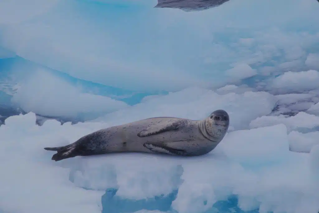
That’s important because polar regions play a key role in the Earth’s climate system. In winter, when the air temperature can be -50 °C, the sea water under the ice is at about -1.8 °C—and the ice acts as insulation preventing the sea water from losing heat. And the heat of that sea water ultimately drives global currents and climate systems.
There is strong evidence that there has been massive sea ice loss in the Arctic, Galin says, but at present we are lacking similar information about what is happening in the Antarctic. In particular, the thickness and variability of Antarctic sea ice and snow cover are poorly understood.

About to fly for the first time, East Antarctica, 2007 (photo: Jan Lieser)
Radar is a particularly attractive way of making the measurements as it not only penetrates snow and ice, but the reflected signal also provides information about internal structure. In the Arctic, satellite readings can be checked against those taken from submarines travelling under the polar ice cap, but Antarctica is a neutral, weapon-free zone, meaning no submarine data.
So, in a collaboration with the University of Kansas, Natalia has taken radar designed there, and used by NASA in fixed wing aircraft—and has modified it for operation in helicopters. It has taken her two years to develop a system robust enough to function accurately in such an unstable environment. She has now checked her helicopter radar estimates against physical measurements of the snow depth taken from sleds on the ice floes.
Natalia Galin is one of 16 early-career scientists presenting their research to the public for the first time thanks to Fresh Science, a national program sponsored by the Australian Government.
For further information, contact Natalia Galin at natalia.galin@gmail.com
Additional Photographs

Measuring snow from a sled based radar (photo:Kym Newbery)


Radar testing using the ship

Preparing for the crane test (photo: Jan Lieser)

RSV – Aurora Australis outside Davis Station, Antarctica (photo: Natalia Galin)


 Fresh Science is on hold for 2022. We will be back in 2023.