Eriita Jones
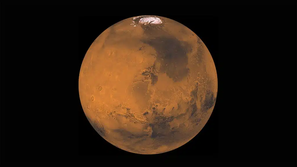
An Adelaide researcher has created the most detailed, most accurate map of the surface of Mars ever produced, providing an accurate geographical assessment of Martian surface dust, sand, pebbles, bedrock, and ice.
The map is an important development for ensuring the safety of future robotic and human landings on the Red Planet. It could also guide explorations to find subsurface water on Mars.
“Our Mars map is more detailed and more accurate than any others produced so far,” explains the map creator Eriita Jones from the University of South Australia.
“This sort of information is vital to the activities of NASA and other space agencies with their sights set on Mars, such as SpaceX and Mars One.”
To create their map, Eriita and her colleagues used unique algorithmic techniques to extract information from open-access, remote-sensing satellite data.
“Our map of surface materials complements photos showing features such as the rims of impact craters and ancient channels where water once ran,” Eriita says. “Together, they provide us with new information on how such features formed.”
But it also provides a measure of variations in the temperature under the Mars subsurface, a vital factor in seeking out shallow deposits of liquid water. And where there’s water, there may be life.
Eriita’s method is transferable to describe surface characteristics of other planets and moons. The Martian technique could also be used to locate hidden water deposits here on Earth.
Resources:
- Journal article by Jones, Caprarelli, Mills, Doran, and Clarke
- Access the data via Arizona State University’s open source JMARS platform
Contacts: Eriita Jones, University of South Australia, eriita.jones@unisa.edu.au

Eriita Jones


 Fresh Science is on hold for 2022. We will be back in 2023.